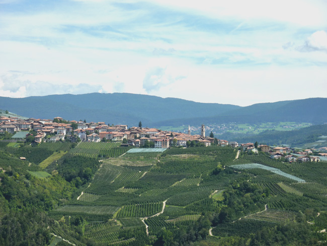
We started from the parking place Rif. Vallesinella (1513m)
in the north, then pass through very crowded out Rif. Brental and then another hour to reach to the Rif. Pedrotti (2491m),
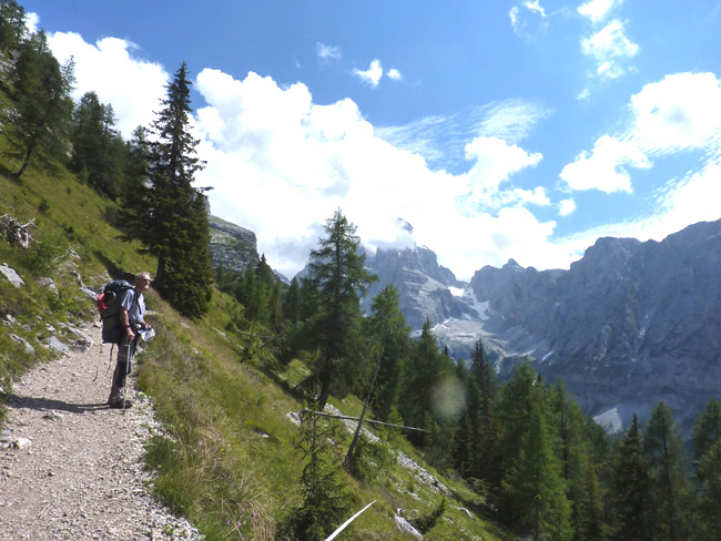
It was a strenuous four hours hike, but througtout Brenta has such a beautiful scenery.
It's the spirit of the mountain.
|
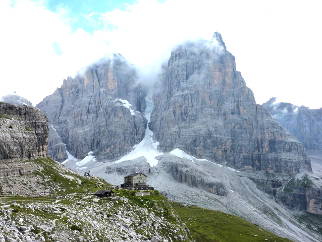
Rif. Brental (2182m)
and Crozzon di Brenta in behind (3135m) |
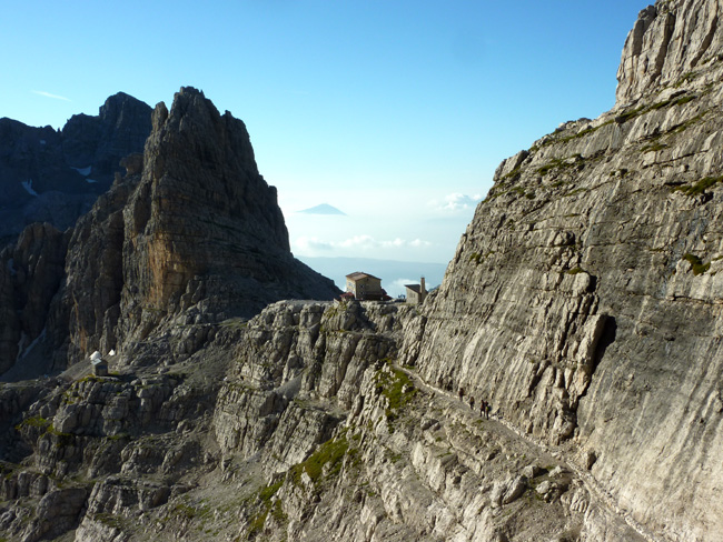
Rif. Pedrotti (2491m) is just after the pass (Bocca di Brenta). |
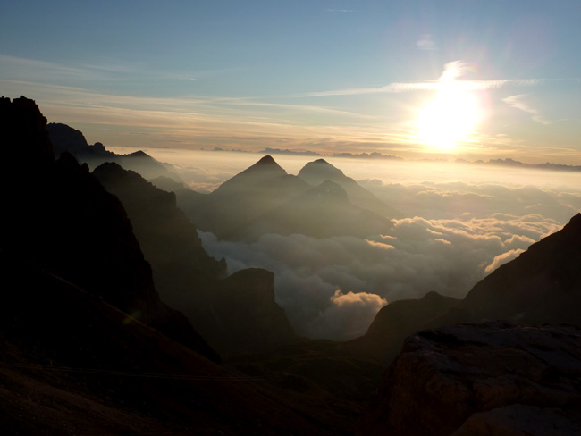
Here i am, the place to discover bliss and to discover in peacfull thought.
|
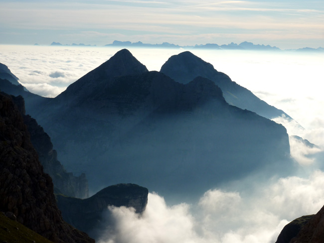
|
To me is the Brenta where the time stand remained, the last stop of my disire.
The shaping rock of the Brenta is the extremely hard main dolomite which is present in this mountains in a power up to about 3000 metres range.
At the Alpin orogeny was the sedimentary rock not as limestone or slate bended,
but broken, what gave the rugged character with its vertical towers and massive cliffs area.
What look so renew is the big signposts and Via ferrata wire, so that you never lost on the way.
We are on the rout Graffer edge of Campanile Basso, striking free standing rock Tower, such as a Rusty iron firmly built submarine from August 1934, offer everthing one desires.
Some of old stance pitons are probably from 1934. But pitons are rare and troublesome to find route, very precious experience, dealing with risks in a timely and sustainable manner is essential.
From the Via dell Bocchette, the well known Via Ferrata in Brenta, a tourist watching on a ledg of Cima Brenta Alta, as we climbing high up to the huge tower, dozens of people passing by this mornig.
The time spirit, most of touirist would never known mountaineering history from year 1934. Why should they know about it? No, I feel more like an Musium visiter, on this mountain, so to speak or perhaps a nostalgia enthusiast.
But only I can tell those guys were really tough at that time. With Hemp rope and leather shoes, no harnes, no Helmet, climbed isolated mountains, and many live are lost, cos of the national pride and struggle for own name.
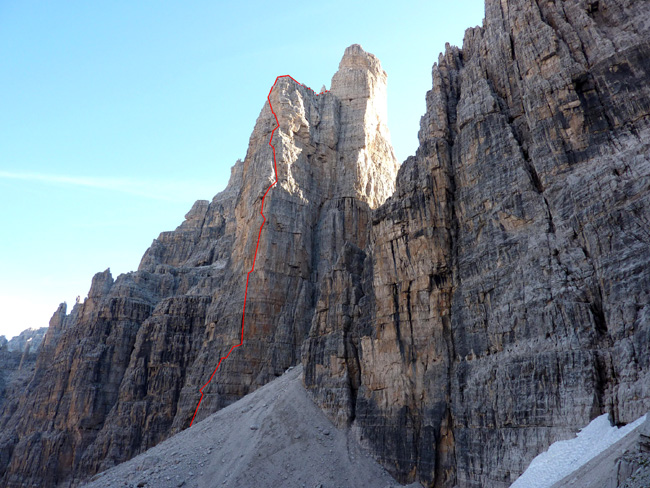
Graffer edge of Campanile Basso |
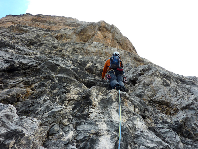
After four pitch or so, to find out a climbing line become diffcult.
We had a old postcard Topo and the description from 1988, which is roughly destined.
There are no clear indications, so we climbed slowly and carefully, to avoid mistakes.
|
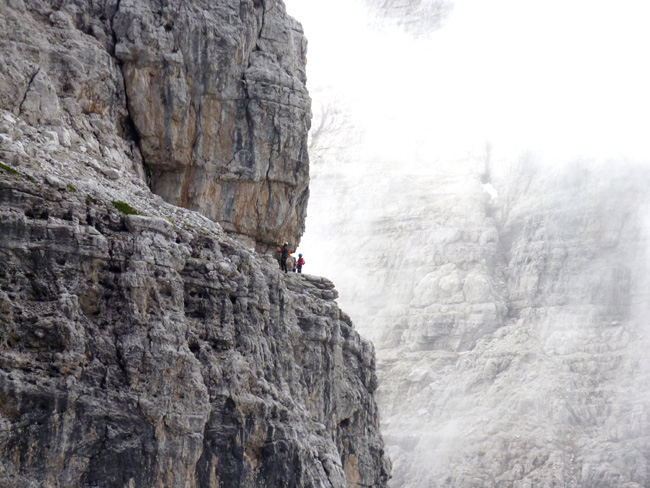
From the Via dell Bocchette,
the well known Via Ferrata in Brenta, a people watching on a ledg of Cima Brenta Alta |
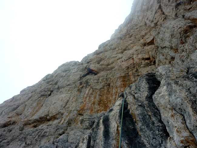
Too far up to the next stance.
Guesswork!
I think, i climbed about 35 Meter long pitch, and the last pro was 20 meters away.
Climbing wasn't too hard but in case if i missed the stance,
down climbing would be the consequence.
|
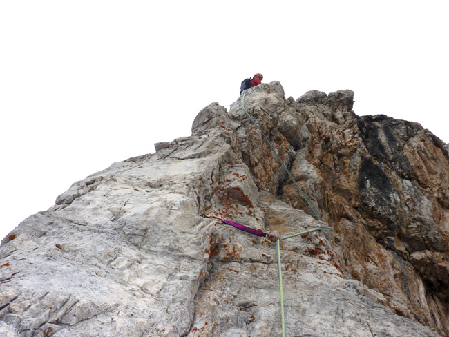
The last pitch before the ledge is nasty and risky climbing demand
a lot of
concentration. We're not sure whether we are on right line or not.
|
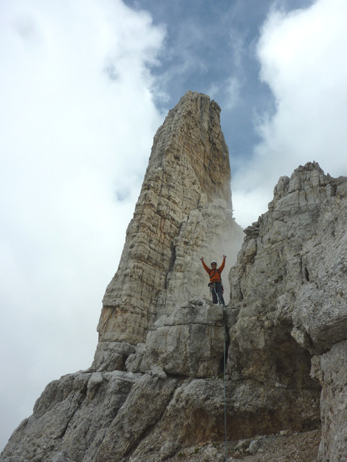
Happy man on the mountain! |
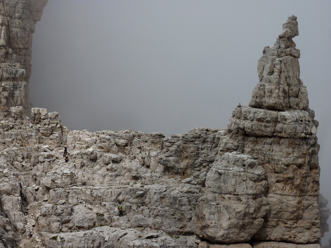
The people from the Alto.
|
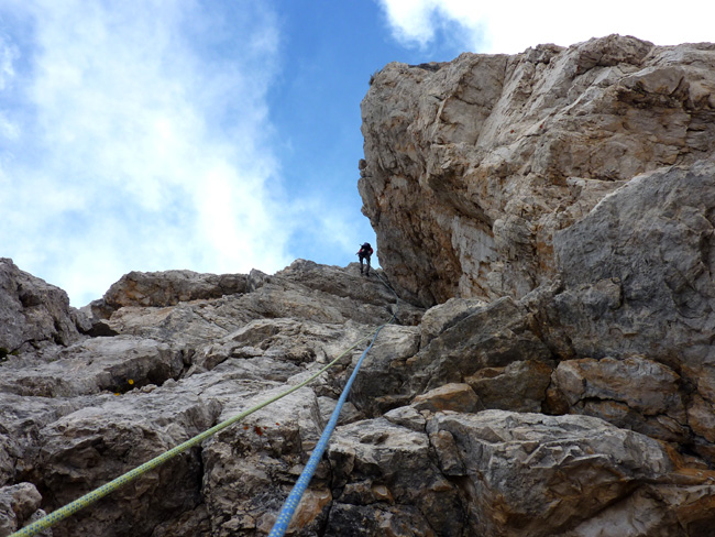
We rappeled 4 X 40 Meter from the ledge, then through way Via del Bocchette N° 305. |
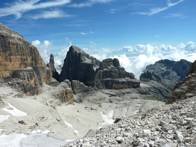
The next day we've moved to Rif. S. Agostine (2410m) through N° 304, Via delle Bocchette.
|
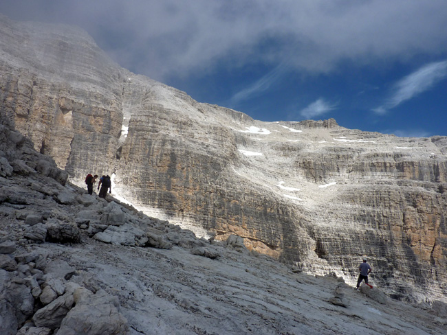
We saw a people from Cima Tosa coming down. |
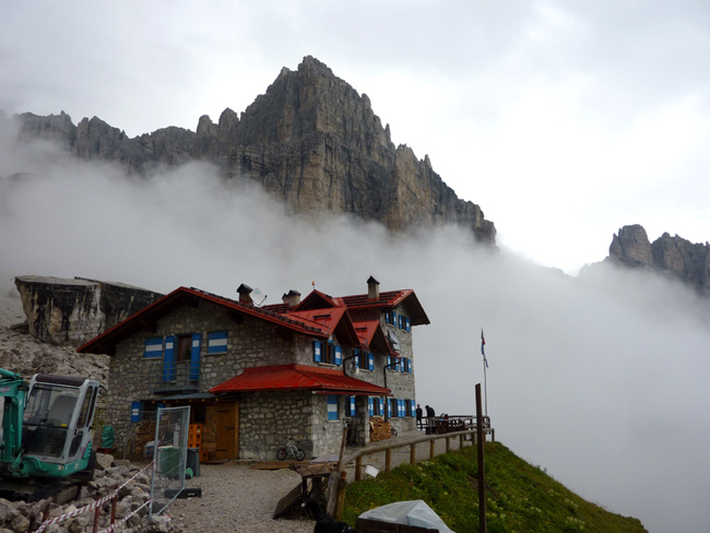
Rif. S. Agostine (2410m)
|
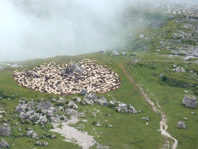
Fock of sheep: May be there are a few hundred!
|
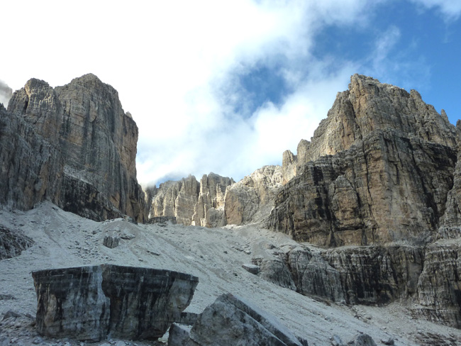
On the right-hand side P. Ideale and Cima d'Ambiez on the left, look very steep,
that's exactly what we want.
|
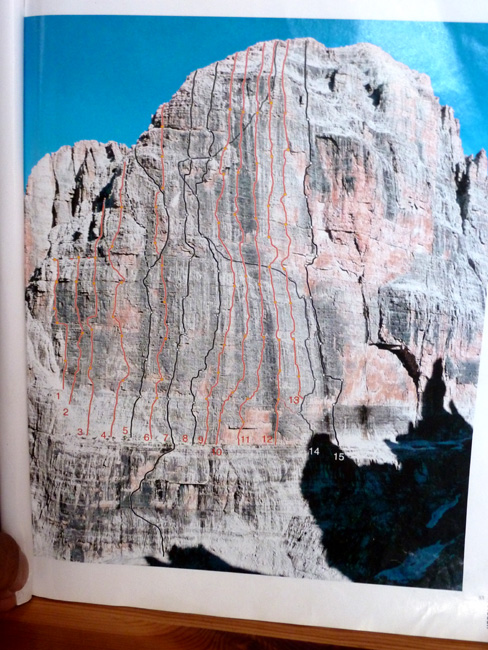
The rout "Fox/Stenico" is N° 5 on the Topo.
|
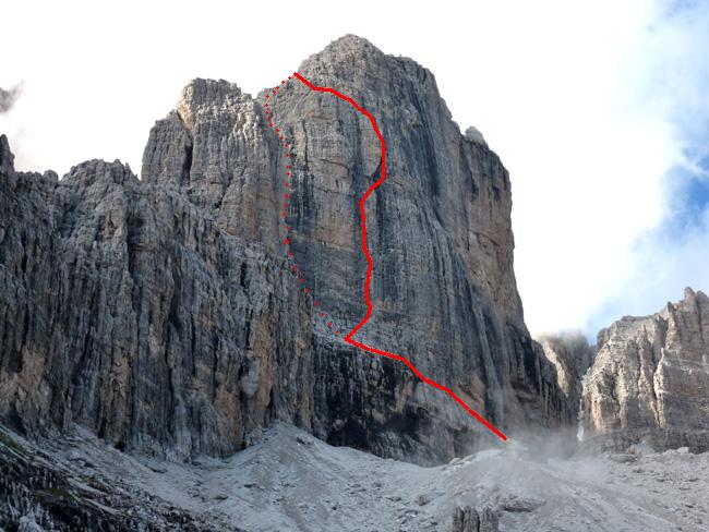
The day before we had severe rain. We hoped not soaked or slippery.
|
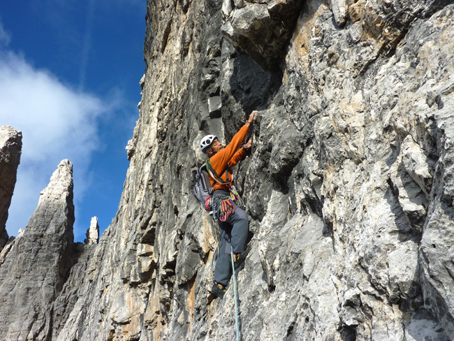
First pitch: I found very hard graded for UIAA 6 (5/ A0). |
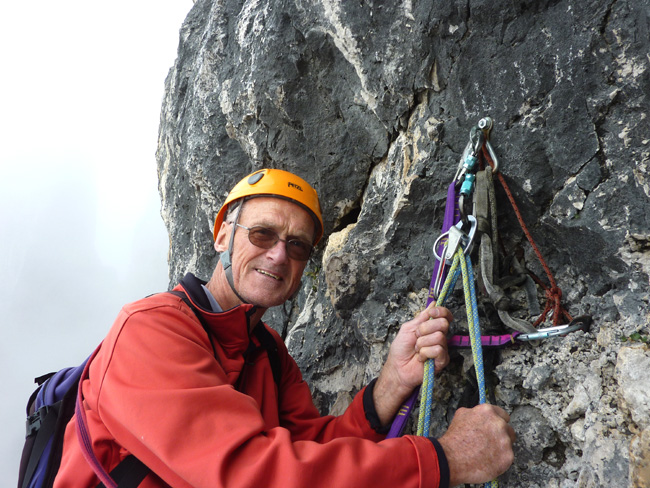
Every stance has been equipped with at least one solid bolt and easy to rappel.
|
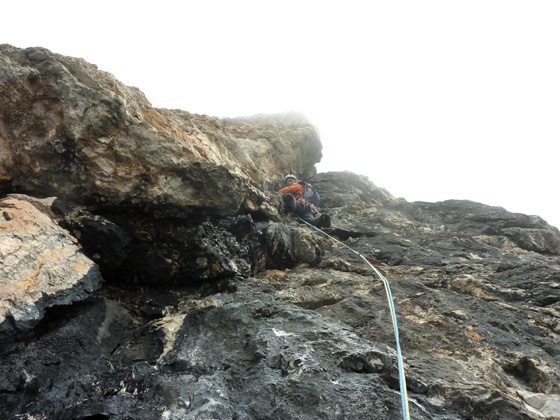
5th pitch. A bit wet and foggy but it was harmless. |
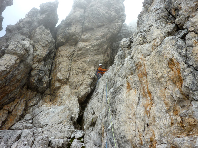
When we started down climb, the fog getting thicker and thicker.
We couldn't see further down and that's makes awkward. |
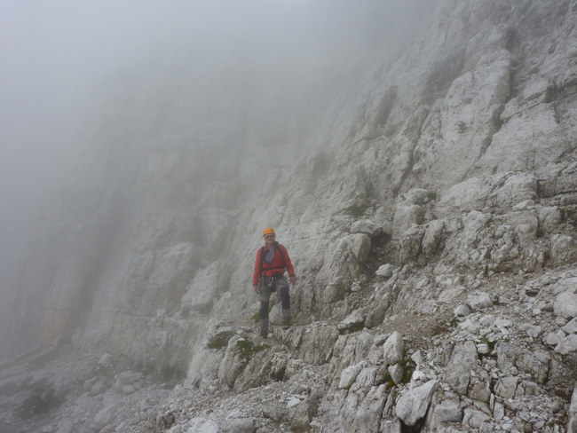
Finally we are on the ground.
|
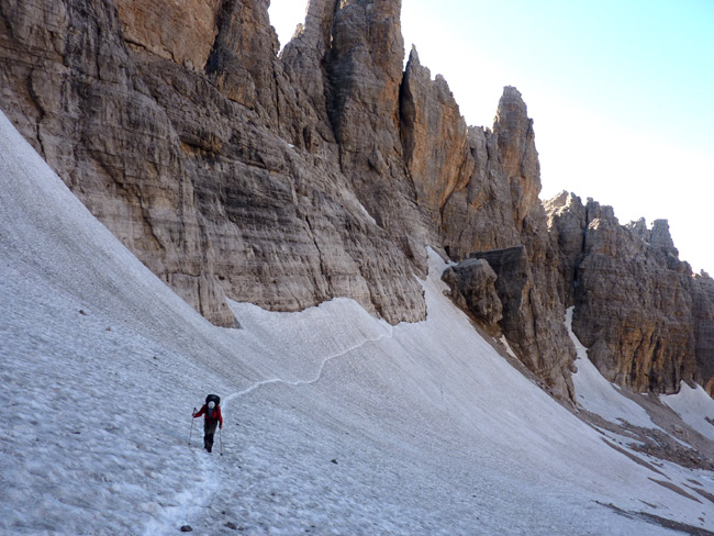
It's time to go home! N° 327 lead to west side of Cima Tosa and Crozzon di Brenta.
|
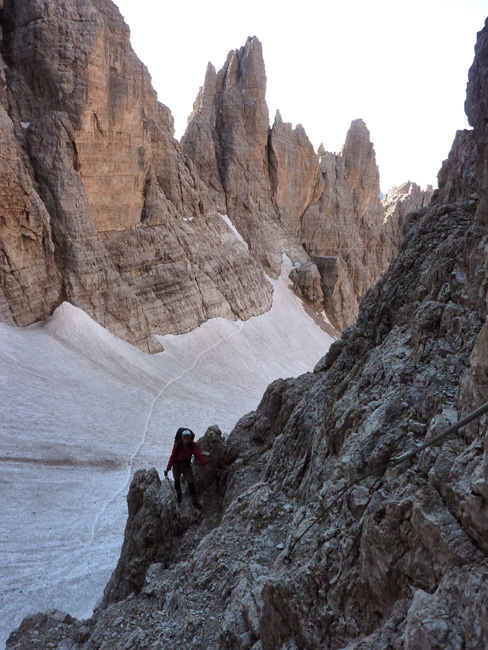
At the Bocca d'Ambiez
|
|